Friday, September 27, 2019

Manhattan Project National Historic Park: Hanford, Washington Unit

The last full day that Emily visited us, we decided to pay a visit to the Manhattan Project National Historic Park, Hanford Unit.  This National Park site is unique because it is composed of three different sites all related to the creation of the atomic bombs during World War 2.  There is a section in Los Alamos, New Mexico, Oak Ridge, Tennessee, and this third site at Hanford, Washington.

In Richland the park has a visitor center that you start at.  We had signed up for a 9am tour of the "B Reactor".  We started out watching an orientation film about the history of Hanford, and got some basic information from our tour guide before we were loaded up onto a bus and driven 40 miles out onto the restricted site.  The Department of Energy still manages the entire Hanford Reach area, but clean up and tourist development has allowed some areas to be opened up.


The original facilities (including B Reactor) at Hanford were built in 1943 for the purpose of large scale, massive plutonium production.  This lonely stretch of Eastern Washington was chosen for its isolation, plentiful supply of electricity from nearby hydroelectric dams, a large supply of water from the Columbia River that would be needed to cool the reactors, and other reasons.  A massive construction project was organized to develop the site and a lot of those stories can be told on another tour the NPS does of the historic buildings that remain from the actual town of Hanford.


Despite the lack of population, there were still people who were displaced from their land by the federal government.  Most of them were given very short notice and were not fairly compensated for their land and lives being uprooted.  Once we began getting close to the "B Reactor" location, you could see one of the original homestead buildings that still remains.  In all, white settlers from the towns of Hanford, White Bluffs, and American Indians were all displaced from their homes as it was deemed "necessary" for the war effort.


Upon arriving at the front of the B Reactor you step off the bus and you immediately see how massive the facility is.


We were directed into the biggest room in the reactor facility where staff sit everyone down in chairs and give presentations, attempted to explain the chemistry behind plutonium production.  As they talk to you, you are right in front of the loading tubes (2,004 of them, to be exact).  Uranium 235 fuel was loaded into each one of the tubes at at different stages to begin the reaction process.


High pressure water was directed into each tube in order to provide cooling.  It took about 1 second for the water to travel the entire length of tube.


Without getting too complicated, Uranium 235 was loaded into each tube and graphite jackets surrounding the tubes make the Uranium undergo several chemical changes that produce massive amounts of heat.  Boron control rods were placed horizontally and vertically.  Operators could manipulate these rods to slow or even stop the reaction process.  Eventually the Uranium fuel transforms into Plutonium in limited quantities.  It was this plutonium that the scientists were after in order to fuel the atomic bombs.

Once a Uranium fuel slug was spent it was pushed out the back of the reactor into various chemical and water baths.  Eventually workers would use long tongs to withdraw the slugs and they were transported on a train to a processing plant where the Plutonium was extracted from the fuel.  This facility in Hanford is where the plutonium contained in the atomic bomb dropped on Nagasaki, was produced.  It was so neat thinking that we were standing in a facility that contributed to the end of World War 2.


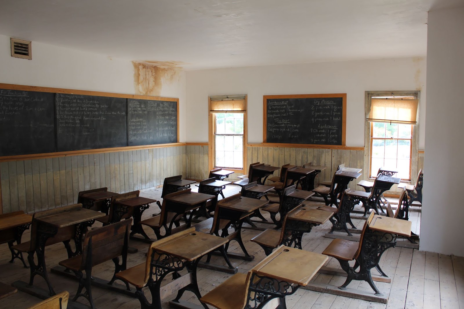
During the course of our time at the B Reactor we got time to wander some of the other areas like the control room, fan & ducting rooms, and where the water intake into the facility is.


We also learned that we didn't have enough time.  If you try and listen to all the presentations, visit all the areas open to the public, and fully soak in all the information, you won't be able to do it.  I figure it will take at least another 1 or 2 visits to complete the experience just to the B Reactor, not even counting the other Hanford Townsite Tour.  The tour guides throw A LOT of information at you.  Before we knew it we were being herded back onto the bus for the ride back to Richland.

Thankfully the tour is free, but you need advance reservations because the tours usually fill up.  They are generally offered April through November, and the tour dates and times are posted on the park website.  There will definitely need to be another return to the site in my future...

Tuesday, September 24, 2019

A lighthouse and a Mission

Amber and I are officially moved into Pasco, WA, and I have started my new job at Bergstrom Aircraft.  My sister Emily came up to help us unpack and get things organized, so when we were all done we had a couple free days to explore some of the local sites.

We started off our adventures by going to check out the lighthouse on Clover Island.  It's a functioning lighthouse that was built in 2010, and placed on Clove Island, in the Columbia River.  I believe it's technically in Kennewick.  We were also pretty excited to see that the lighthouse has a stamp we were able to add into our United States Lighthouse Society Passport book.


The following morning we packed a lunch and set out for the short drive over to Walla Walla, WA, and the nearby Whitman Mission National Historic Site.


It was a very interesting and tragic part of history to learn about.  The Whitman Mission was founded in 1836 by Marcus Whitman, and his wife, Narcissa.  This was before the mass emigration on the Oregon Trail began so aside from French/Canadian trappers, the Whitmans were some of the first white settlers in the area.

Marcus and Narcissa were both products of the Second Great Awakening that occurred in America.  They both believed they were called to be missionaries for the rest of their lives, and had the conviction to spread their beliefs and way of life.  So they came to what is present day Washington and received permission from the Cayuse Indian tribe to build a mission.  Marcus was a preacher on Sunday and practiced medicine as a doctor during the week.

Life was hard, but the Whitmans persevered in their quest.  They hired what laborers they could to assist with growing crops and constructing buildings.  The Cayuse Indians became receptive to the message that Marcus brought and he regularly preached to them.  Very quickly, however, problems arose due to language barriers, Marcus's way of presenting & preaching, and perhaps most significant- his belief that the Indians and their culture were inferior to all whites.


In today's world it is hard to understand how missionaries could preach the Word of God, but also preach the superiority of their own culture.  Today's Christian missionaries are taught how to assimilate into the people's culture whom they are attempting to reach.  And Scripture is very clear that "God has made of one blood all peoples of the Earth", so there is no room for this intolerance of another culture.

As the Oregon Trail began to receive heavy use and settlers flooded West in ever increasing numbers, the Whitman's Mission began to be a short detour stop for those sick, or desiring some rest before continuing on to Oregon.  The settlers brought epidemics of diseases like smallpox that they had developed resistance to, or the methods used by Marcus to treat patients usually worked on the whites.  But when Marcus attempted to administer aide to the Indians who had contracted diseases, they usually died.  This fueled a mistrust of the Whitmans among a lot of the Indians.

All of these misfortunes of science & medicine, language barriers, and misinterpreting Scripture eventually resulted in the unfortunate massacre that played on on November 29, 1847.  A group of the Cayuse Indians attacked the mission and brutally killed Marcus & Narcissa and nine others.  There were some people who escaped, but the Cayuse ended up taking fifty individuals captive.  It wasn't until a month later that their return was ransomed by the Hudson Bay Company.

This event ignited the Indian Wars in the Oregon/Washington region and was a major driving force behind forcing tribes such as the Cayuse, Umatilla, and others onto reservations.

Today you can tour the land that the Whitman Mission once stood on.  Markers are laid out denoting the main buildings and their dimensions and showing where each of the Whitmans died on that fateful day.


In addition to this, there is a loop trail that takes you to a memorial erected on a hill on the 50th anniversary of the attack, and a location of a mass grave as well.


Overall it was a very interesting visit to another location in our country that preserves tragedy so that we can learn from our ancestors mistakes, and hopefully not repeat them...

Saturday, September 21, 2019

Last Hurrah In Montana Part 4

It was our last day on the road, and we were thinking we would make it home by evening so that we could begin to pack for our big move over to Pasco, WA.  Our only definite plan for the day was to spend some time exploring Big Hole National Battlefield near Wisdom, MT.  It's very close to the Montana/Idaho state line, where the Bitterroot Mountains function as the state's boundary.


Big Hole National Battlefield is part of the famed Nez Perce Trail, and perhaps one of the most important battle sites in the whole trail system.  By this point in the Nez Perce Tribe's flight, in August of 1877, they had already been on the run from the US Military after some skirmishes in Idaho.  Their ultimate goal was present day Wyoming in order to try and seek an alliance and help with the Crow tribe.  After crossing the Bitteroot Mountains they believed they were safe and took this time to rest and relax next to the North Fork Big Hole River.


Unbeknownst to the tribe, the US military had been closing in on their position and planned on trying to scare the tribe into surrender so that they could be forced onto the newly created reservation.  While they were bedded down for the night in their camp, American troops were slowly approaching their camp to try and force the surrender.


Early in the morning one of the tribesmen went to check on the horses grazing on the nearby hillside.  He unknowingly stumbled into the American troops, which resulted in in shots being fired.  In a flash of confusion soldiers began raining fire down upon the camp.  Some women and children were killed right where they slept.  The pushed into the camp with orders to burn the village.

Confusion ensued with small bands of soldiers fighting hand to hand with the American soldiers, while Nez Perce chiefs slowly grasped the situation and organized a counter attack.  They were able to drive the soldiers from their camp and forced them back across the river to a secluded area of trees and cover that would prove more defensible.


An interesting fact to note is that this group of soldiers were the same ones who had reached the battlefield after Custer's regiment had been destroyed in Eastern Montana just a year earlier.  They had seen the massacre and suddenly found themselves in a similar situation.  They frantically tried to take cover behind anything they could.  Some tried to dig shallow trenches with their bayonets, that you can still see to this day.


The soldiers hunkered down while Nez Perce snipers picked them off and continued the assault, until their tribe could withdraw and continue their flight across Montana.  Today a monument stands in the location of this part of the battle.


What does this all mean for us today?  Certainly for history buffs this is an interesting place.  You can study the military tactics, errors, and certainly try and transport yourself back 142 years to the time of this battle, as you stroll through the landscape that has remained relatively unchanged.  It's a very humbling experience to spend time at this place where so much terrible and needless bloodshed occurred.

Before we started our visit, we spent some time talking to an interpreter at the park's visitor center.  We were told just how important it is to not come into learning about this place with a biased view, and I certainly agree.  There is no clear black and white in a lot of our country's history.  On one hand you have the U.S. Government who in most cases broke treaties, lied, and forcibly removed American Indians from their native lands.  In many cases even the military leadership held clearly wrong views of the native people.


But when you delve deeper into the personal accounts you realize how much more complicated these situations are.  Soldiers who are torn between obeying their superior officers and country, and not killing innocent women and children.  There are stories of great moments of compassion, brutality, kindness, and affliction.  Individuals who refused to obey orders for the sake of saving human life, and those who go far beyond "just following orders", exacting unspeakable acts upon the Indians.  There is no doubt that America's policy towards the Indians was wrong.

But then you have to delve deep into the Indian's history as well.  If you strip away the contact with white settlers and study purely their interaction with their fellow tribes, you see that the American Indians were really no different from the whites.  They fought among each other; went to war, pillaged neighboring tribes, killed women and children, etc.  The Nez Perce were actually fairly well despised themselves.  They were the envy of other tribes as they had intimidated and clawed their way into a position of power among their own people.  Did they deserve to be evicted from their homelands?  No.  Were the Nez Perce an innocent people group who had done no wrong and were completely victimized?  That's the tricky question...

What it really comes down to is the depravity of man and our need of a Savior.  Without Christ guiding our lives every day we will fall prey to these blunders in history.  You had two very different people groups each acting in their own interests and customs instead of following the ways of Jesus Christ.  When we act out of selfishness, greed, anger, revenge, or other sinful emotions we hurt ourselves, others, and events like this battle by the Big Hole River occur.

Wednesday, September 18, 2019

Last Hurrah In Montana Part 3

The next morning we left Bozeman and headed Southwest.  We eventually followed the Madison River, following in the old footsteps of the Lewis & Clark Expedition.


Our first stop was Beaverhead Rock.  According to textbooks, Sacajawea recognized this landmark and wagered that they were getting close to familiar Shoshone territory.  A few days later they did indeed meet members of the tribe.  I can't quite make out the beaver in the rock formation, but that might mean I lack an imagination.


Just a few miles down the road was Dillon, MT.  Right inside town was another state park known as Clark's Lookout.  A few miles after passing Beaverhead Rock, Clark had climbed this outcrop that gave him a commanding view of the surrounding countryside.  He used the vantage point to create one of the first maps of the area.


By this point we realized we were "ahead of schedule" with our list of places to stop.  We decided to go ahead and visit Bannack State Park that afternoon.  We decided that if it took us more than 1/2 a day, we'd have more time the next morning.


Bannack started off as a mining town in the 1860's and was named the first territorial capital of the Montana Territory, after being split from Idaho.  Today many of the buildings are still standing in various states of decay and preservation.  The state park is set up with boardwalks/trails and you walk down main street of the town.  You can bring a book guide with you and you read about the history for the buildings as you come to them.

One of the first larger buildings we came to was the Hotel Meade.  It was pretty impressive from the outside, and very eerie on the inside.  We were able to stroll the halls and old rooms on both lower and upper levels.  Just imagining the people who stayed here, walked the halls, and the things the walls saw and heard.  A rumor is that the Hotel Meade is haunted.


We also made a stop by the saloon...


The church... 


The school...


The jail...


And the other scattered buildings throughout the old town.  Overall it was a pretty neat experience.  It was the first ghost town I ever remember touring, and it's in pretty good condition, all things considered.  We were amazed to finish up the state park that afternoon, so we headed back into Dillon where we had rented an Airbnb for the night.  It was a nice studio apartment above somebody's garage.  We had a kitchen to cook dinner and internet so we could relax and watch a show before turning in for the night.

In the morning we would set out for our last major stop of the trip, Big Hole National Battlefield.

Monday, September 9, 2019

Last Hurrah In Montana Part 2

In the morning we were up and packing up our camps.  My parents were preparing to head back to Idaho, and Amber and I were getting ready to explore Missouri Headwaters State Park.  We ate a quick breakfast of muffins and then my parents decided to join us on a couple stops.

Missouri Headwaters State Park is the confluence of the Madison, Jefferson, and Gallatin rivers, and the mighty Missouri River begins.  When the Lewis & Clark Expedition reached this area they scouted out the surrounding terrain trying to figure out which fork of the river to take, in order to get closest to their short term goal of crossing the Continental Divide.  They ultimately decided on following the Jefferson River.

Our first stop was the confluence of the Madison & Jefferson Rivers.  Nothing too impressive, unless you think about the history and the first American explorers seeing this area for the first time.


After that we made another stop at what is called Fort Rock.  It was a landmark that Lewis & Clark surveyed the Three Forks area from, and you get outstanding views from all directions.  You can see the Gallatin River on one side, before it joins up with the other two rivers downstream.  We enjoyed the view and the quick hike, and then my parents said goodbye and Amber and I were on our own.


Amber and I continued on into the park.  We stopped at a large picnic area near the Gallatin River.  We were able to access trails that ran to a pictograph, pioner grave, and another landmark known as Ling Rock.  In the early days of the Montana territory, there was a ferry that operated at Ling Rock.  But when Gallatin City 1 & 2 eventually dried up due to steamships not being able to navigate that far up the Missouri River, the ferry service ceased.


Then our final stop was hiking a short trail that leads out to the point where the Gallatin River joins the other two, and the Missouri River flows all the way to the Mississippi.


After this point, we realized we ran out of things to see.  Originally I had believed it would take us most of the day to explore what we wanted to.  But it also was getting pretty hot.  So we decided to head into the town of Three Forks and visit a free museum.  It was interesting.  They had lots of displays, artifacts, and memorabilia about the local history. 

Once we were done there, we headed into Bozeman to kill time having a picnic lunch and explore some random stores until our friends Alex & Hannah were free to meet us for dinner.  We stayed the night with them and then prepared to head out first thing in the morning.  Our plans for the next day were going to involve some more Lewis & Clark history and maybe start our exploration of Bannack Ghost Town State Park, if time allowed.